Map 1: Existing Built Form
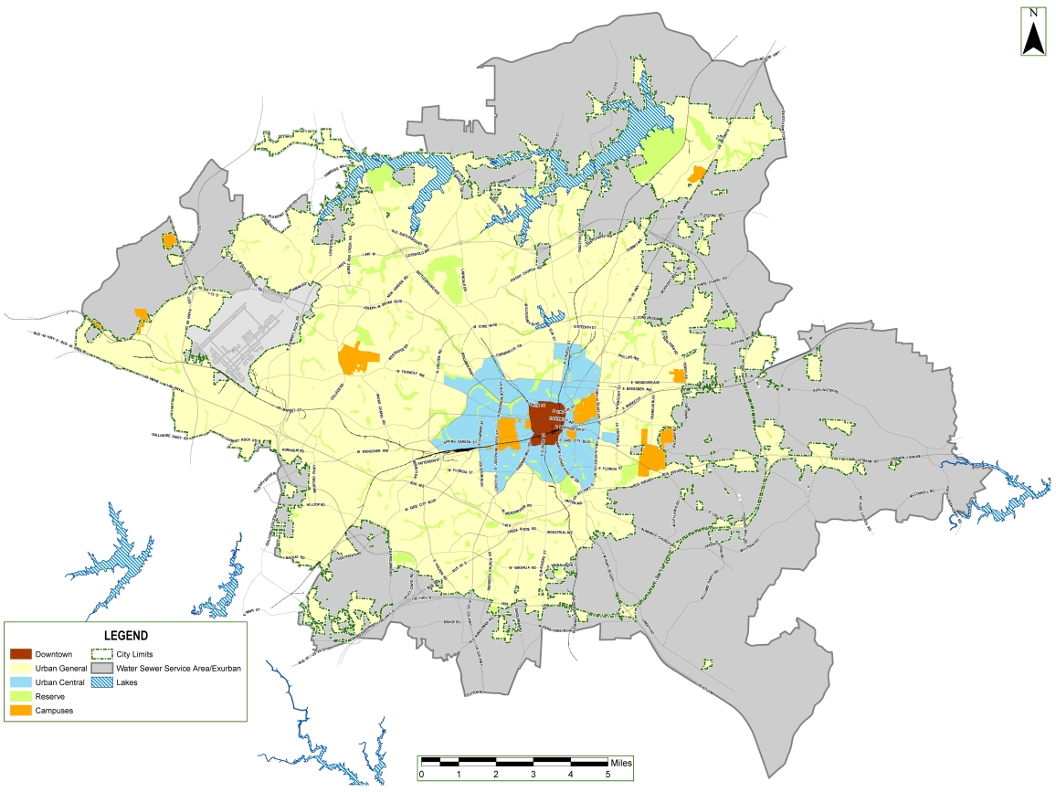
The Existing Built Form map broadly categorizes Greensboro into areas with distinctly different types of development.
In Greensboro, as in most cities, development patterns vary based on proximity to the city center and the era in which development occurred.
Existing Built Form categories:
- Downtown- identified by red in the Existing Built Form map.
- Urban Central - identified by light blue in the Existing Built Form map.
- Urban General - identified by yellow in the Existing Built Form map.
- Campuses - identified by orange in the Existing Built Form map.
- Reserves - identified by green in the Existing Built Form map.
- Water and Sewer Service Area (WSSA) and Exurban - identified by gray in the Existing Built Form map.

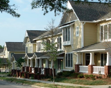
Willow Oaks neighborhood is an example of an urban central neighborhood.

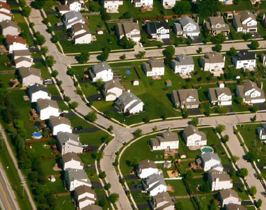
The image above illustrates an urban general neighborhood.
For more information, see Chapter 10, Map 1 in the GSO 2040 Comprehensive Plan.
